-
 ×
- Otthon
- Művészet Lenyomatok ▸
- Művészek ▸
- Kategóriák ▸
- Művészet Stílusok ▸
- Képkeret ▸
- Nyomtatási felületek ▸
- Minden nyomathordozó
- Vászon Leonardo (szatén)
- Vászon Salvador (matt)
- Vászon Raphael (matt)
- FineArt Fotó Matt
- FineArt Fotó Szatén
- FineArt Fotó Baryte
- FineArt Fotó Fényes
- Akvarell Karton Munch
- Akvarell Karton Renoir
- Akvarell Karton Turner
- Akvarell Karton Dürer
- Natural Line Hemp
- Natural Line Rice
- Kozo White, 110g
- Kozo Natural, 110g
- Inbe White, 125g
- Unryu, 55g
- Bamboo, 110g
- Premio Unryu, 165g
- Murakumo Natural, 42g
- Bizan Natural, 300g
- Bizan White, 300g
- Alumínium kompozit 3mm
- Akril üveg 5mm
- Minta készlet rendelése
- Melyik nyomathordozó a megfelelő?
Vászon
Fotópapír
Akvarellkarton
Natural Line
Japán papír
Speciális hordozók
További információk
- Súgó és szerviz ▸
- Lépjen kapcsolatba velünk
- Add el a művészeted
- Gyakran ismételt kérdések
- Nyitott pozíciók
- Reklamáció
- Minták rendelése
- Utalványok rendelése
- Szállítási költség
- Gyártási idő
- Fenntarthatóság
- Képkutatás
- Különleges kérések
- Kik vagyunk mi?
- Árpolitika
- Cégpolitika
- Minőségi ígéret
- Kitüntetések
- Feszítőkeret
- Paszpartu
- Díszkeretek
- Üvegezés
- Lécek
- Felfüggesztési rendszerek
- Nyomathordozók
- Ápolási tippek
- Impresszum
- ÁSZF
- Adatvédelem
- Elállási Jog
Információ és szolgáltatás
További információk
Hasznos tudnivalók
Jogi információk
- Bolt ▸
- Kapcsolat







 Megtekintés 3D-ben/AR
 Hozzáadás kedvencekhez
 Falszín kiválasztása
 Festmény megtekintése egy helyiségben
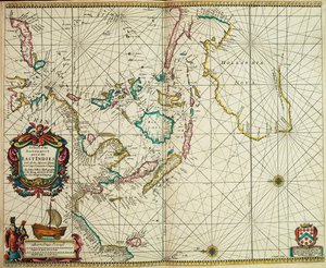
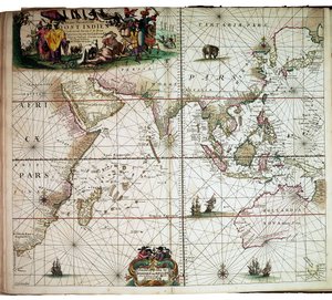
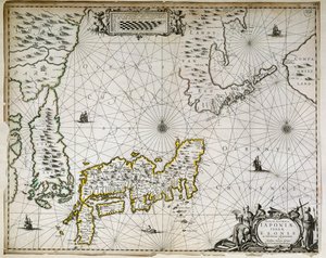
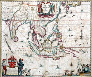
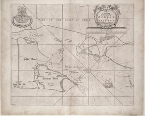
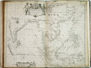
.jpg "Kelet-India: Dél-Indiától Japánig, a kelet-indiai szigetvilágon át húzódó tengerészeti és partvidéki térkép")
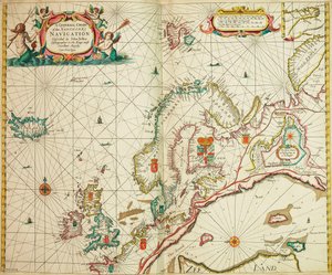
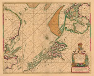
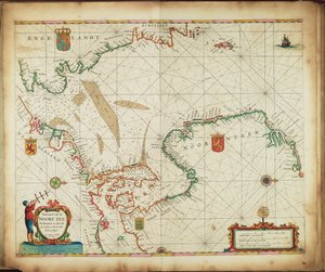
.jpg "Az angol révész első könyve: az északi hajózás leírása, 1671 körül (papír)")
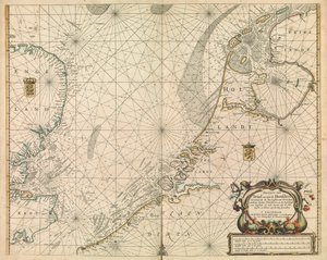
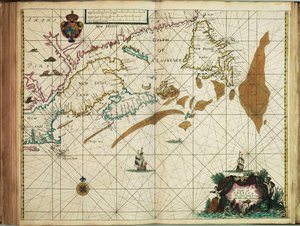
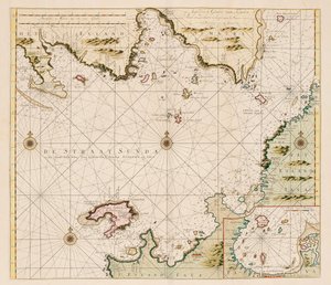
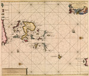
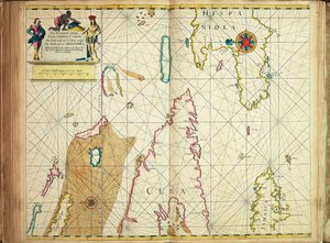
.jpg "az Orkney és a Schetland -szigetek legpontosabb leírása")

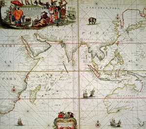

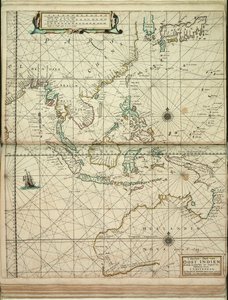
.jpg "Általános térkép Indiától és Ceylontól Északnyugat-Ausztráliáig, Dél-Japánon, a Fülöp-szigeteken, a Maláj-félszigeten és az indonéz szigetvilágon át")
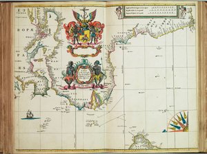
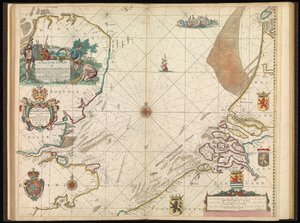
 - (MeisterDrucke-115884).jpg "Az Északi-tenger térképe, kb. 1675")
.jpg "Térkép a Nemzeti Könyvtár térképgyűjteményéből. A térképet kiadták, és az Északi-tengert ábrázolja.")
.jpg "Kelet-India térképe (Dél- és Délkelet-Ázsia: Pakisztán, India, Nepál, Banglades, Burma, Srí Lanka, Thaiföld, Malajzia, Vietnam, Kambodzsa, Laosz, Fülöp-szigetek, Szingapúr és Indonézia)")

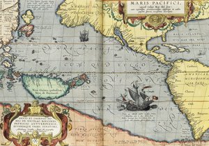
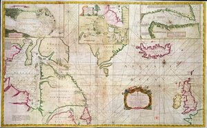
 - (MeisterDrucke-61569).jpg "Az Északi-sark térképe")

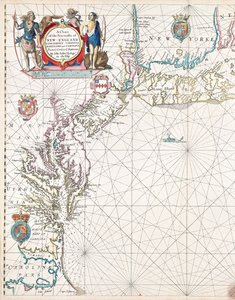
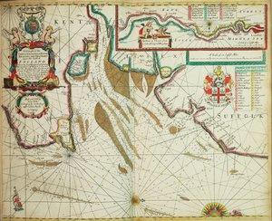
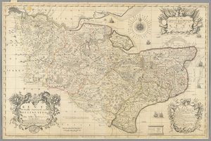
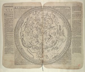

.jpg "Ms 1288 térkép Anglia és Írország tengeri partjairól és a Vizcayai-öbölről")
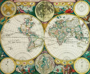
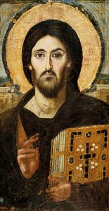
 Empress of Austria wife of Emperor Franz Joseph of Austria (1830-1916) - (MeisterDrucke-40226).jpg "Bajor Erzsébet (1837-98), Ausztria császárnéja, I. Ferenc József osztrák császár (1830-1916) felesége")
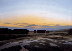
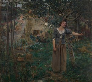
.jpg "Őszi táj négy fával")
 1873 - (MeisterDrucke-126917).jpg "A művész kertje Argenteuil-ben (A kert egy sarka dáliákkal), 1873")
.jpg "Virágzó előkert")
.jpg "A vad állapot A birodalom fejlődéséből")
.jpg "Grace olvas a Howth-öbölben")
 - (MeisterDrucke-239847).jpg "Tavirózsák, 1916-19")
.jpg "Reggel egy fenyőerdőben")
.jpg "Vándorló árnyak")

 +43 4257 29415
 support@meisterdrucke.com
 Mo-Do: 7:00 - 16:00 | Fr: 7:00 - 13:00