-
 ×
- Otthon
- Művészet Lenyomatok ▸
- Művészek ▸
- Kategóriák ▸
- Művészet Stílusok ▸
- Képkeret ▸
- Nyomtatási felületek ▸
- Minden nyomathordozó
- Vászon Leonardo (szatén)
- Vászon Salvador (matt)
- Vászon Raphael (matt)
- FineArt Fotó Matt
- FineArt Fotó Szatén
- FineArt Fotó Baryte
- FineArt Fotó Fényes
- Akvarell Karton Munch
- Akvarell Karton Renoir
- Akvarell Karton Turner
- Akvarell Karton Dürer
- Natural Line Hemp
- Natural Line Rice
- Kozo White, 110g
- Kozo Natural, 110g
- Inbe White, 125g
- Unryu, 55g
- Bamboo, 110g
- Premio Unryu, 165g
- Murakumo Natural, 42g
- Bizan Natural, 300g
- Bizan White, 300g
- Alumínium kompozit 3mm
- Akril üveg 5mm
- Minta készlet rendelése
- Melyik nyomathordozó a megfelelő?
Vászon
Fotópapír
Akvarellkarton
Natural Line
Japán papír
Speciális hordozók
További információk
- Súgó és szerviz ▸
- Lépjen kapcsolatba velünk
- Add el a művészeted
- Gyakran ismételt kérdések
- Nyitott pozíciók
- Reklamáció
- Minták rendelése
- Utalványok rendelése
- Szállítási költség
- Gyártási idő
- Fenntarthatóság
- Képkutatás
- Különleges kérések
- Kik vagyunk mi?
- Árpolitika
- Cégpolitika
- Minőségi ígéret
- Kitüntetések
- Feszítőkeret
- Paszpartu
- Díszkeretek
- Üvegezés
- Lécek
- Felfüggesztési rendszerek
- Nyomathordozók
- Ápolási tippek
- Impresszum
- ÁSZF
- Adatvédelem
- Elállási Jog
Információ és szolgáltatás
További információk
Hasznos tudnivalók
Jogi információk
- Bolt ▸
- Kapcsolat





 Megtekintés 3D-ben/AR
 Hozzáadás kedvencekhez
 Falszín kiválasztása
 Festmény megtekintése egy helyiségben
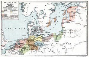
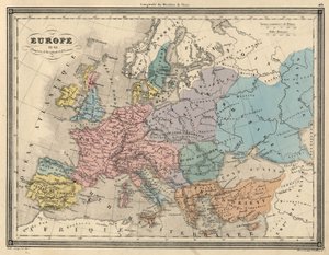
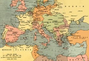
.jpg "Nagy Károly birodalma, az Atlas Historique et Picturesque-ből, M J-H Schnitzler, 1857")
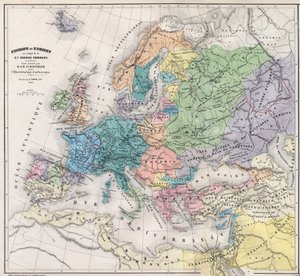
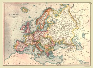

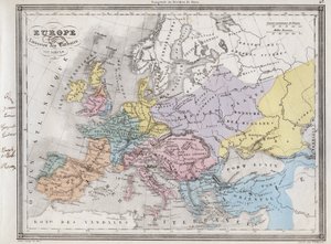
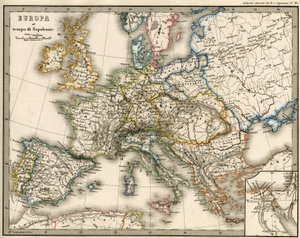
.jpg "Országok, amelyeket az apostolok bejártak, és bemutatják Szent Pál Ázsia és Európa közötti utazásait")
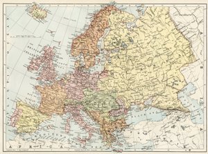


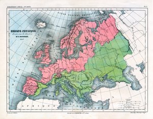

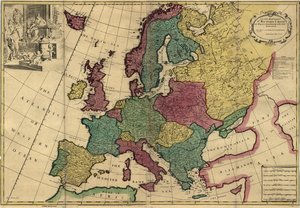
.jpg "Johnson Európája, kiadó: Johnson And Ward")
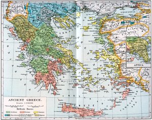


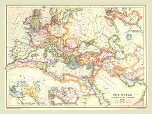
.jpg "Új egyetemes földrajz")
.jpg "Templom és kunyhó kivilágított ablakokkal")
.jpg "III. Richárd király portréja")
 c1740-50 - (MeisterDrucke-77045).jpg "Kidbrooke Park, Kent, korábban George Lambertnek (1700-65) tulajdonították 1740-50 körül")

.jpg "A Gallipoli-félsziget és a Dardanellák részletes térképe, Törökország, 1915, a Londonban 1916-ban kiadott „The War Illustrated Album deLuxe” című kiadványból")
.jpg "A Brit Birodalom vörösre színezett birtokait ábrázoló világtérkép, kb. 1870")


.jpg "Az Ile de la Cité részlete, Párizs térképéről c. 1540, Plan de la Tapisserie néven, gobelinként készült 1570 körül, 1818 színes metszet")
.jpg "Az Újvilág, 33 térképből álló világatlaszból, Velence, 1553. 09. 01.")
.jpg "Északkelet-Brazília térképe")
 Systems of Planetary Orbit 1701 - (MeisterDrucke-40588).jpg "A Ptolemaioszi és Tycho Brahe (1546-1601) bolygópályarendszereit ábrázoló térkép, 1701")
 - (MeisterDrucke-287342).jpg "Európa térképe, 1700-ban kiadva, Párizs")
.jpg "Van Diemen")


.jpg "Clerkenwell, London City térképe, 1746")
.jpg "Kínai Turkesztán térképe, Stein On Ancient Central-Asian Tracks című, 1933-ban megjelent művéből")
.jpg "Dél-Afrika térképe, Strasbourgban kiadva 1522-ben")
 published Geneva 1780 - (MeisterDrucke-65565).jpg "A világ térképe Mercator-vetületben, Guillaume Raynal (1713-96) „Atlas de Toutes les Parties Connues du Globe Terrestre” című művéből, kiadva Genfben, 1780")
.jpg "Tengerparti tanulmány")
.jpg "Valenciai halászok")
.jpg "Ponte Fabricio")
.jpg "Vándor a ködtenger felett")
.jpg "Napraforgók")
.jpg "A rózsák, 1925-26")
.jpg "Meztelen nő az ágyban, kb. 1914")
.jpg "Tizenkét napraforgó egy vázában")
.jpg "Vacsora Emmauszban")

 - (MeisterDrucke-770).jpg "Szentháromság (Troica)")

 +43 4257 29415
 support@meisterdrucke.com
 Mo-Do: 7:00 - 16:00 | Fr: 7:00 - 13:00