-
 ×
- Otthon
- Művészet Lenyomatok ▸
- Művészek ▸
- Kategóriák ▸
- Művészet Stílusok ▸
- Képkeret ▸
- Nyomtatási felületek ▸
- Minden nyomathordozó
- Vászon Leonardo (szatén)
- Vászon Salvador (matt)
- Vászon Raphael (matt)
- FineArt Fotó Matt
- FineArt Fotó Szatén
- FineArt Fotó Baryte
- FineArt Fotó Fényes
- Akvarell Karton Munch
- Akvarell Karton Renoir
- Akvarell Karton Turner
- Akvarell Karton Dürer
- Natural Line Hemp
- Natural Line Rice
- Kozo White, 110g
- Kozo Natural, 110g
- Inbe White, 125g
- Unryu, 55g
- Bamboo, 110g
- Premio Unryu, 165g
- Murakumo Natural, 42g
- Bizan Natural, 300g
- Bizan White, 300g
- Alumínium kompozit 3mm
- Akril üveg 5mm
- Minta készlet rendelése
- Melyik nyomathordozó a megfelelő?
Vászon
Fotópapír
Akvarellkarton
Natural Line
Japán papír
Speciális hordozók
További információk
- Súgó és szerviz ▸
- Lépjen kapcsolatba velünk
- Add el a művészeted
- Gyakran ismételt kérdések
- Nyitott pozíciók
- Reklamáció
- Minták rendelése
- Utalványok rendelése
- Szállítási költség
- Gyártási idő
- Fenntarthatóság
- Képkutatás
- Különleges kérések
- Kik vagyunk mi?
- Árpolitika
- Cégpolitika
- Minőségi ígéret
- Kitüntetések
- Feszítőkeret
- Paszpartu
- Díszkeretek
- Üvegezés
- Lécek
- Felfüggesztési rendszerek
- Nyomathordozók
- Ápolási tippek
- Impresszum
- ÁSZF
- Adatvédelem
- Elállási Jog
Információ és szolgáltatás
További információk
Hasznos tudnivalók
Jogi információk
- Bolt ▸
- Kapcsolat


 Megtekintés 3D-ben/AR
 Hozzáadás kedvencekhez
 Falszín kiválasztása
 Festmény megtekintése egy helyiségben
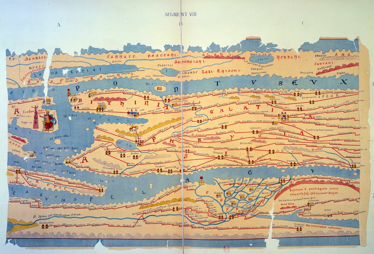
.jpg "Konstantinápoly és a Közel-Kelet részlete a Peutinger-térkép másolatáról")
.jpg "Itália részlete a Peutinger-térkép másolatáról")
 an illustrated itinerarium of the road network in the Roman EmpireDetail of Italy from the Peutinger map copy - (MeisterDrucke-110655).jpg "A Tabula Peutingeriana (Peutinger-tábla, Peutinger-térkép) egy része, a Római Birodalom úthálózatának illusztrált itineráriuma. Itália részlete a Peutinger-térkép másolatáról")

 - (MeisterDrucke-101695).jpg "Közép-Európa térképe, 1486 (157909 részlete)")


.jpg "Egy 8. századi Beatus-világtérkép másolata")

.jpg "Heilbronn és keleti környéke 1578")
.jpg "Konstantinápoly részlete a Peutinger térképmásolatból")
.jpg "Afrika térképe, egy világatlasz 18. táblája, 1486")


.jpg "Ms. Arabe 2221, fol. 203 és 204, a Földközi-tenger, Európa és Afrika térképe, 1300")
.jpg "Franciaország térképe, a „Geographia” című műből")
.jpg "Római Gallia részlete a Peutinger térképmásolatból")
.jpg "A Szentföld, a világ atlaszából 33 térképen, Velence, 1553. szeptember 1. (tinta pergamen) (lásd még: 330965)")

.jpg "Geológiai térkép [a] New York-i Manhattan-szigetről, 1842 (kézzel színezett litográfia papírra rögzítve)")
 (see also 330964) - (MeisterDrucke-102741).jpg "A Közel-Kelet, egy 33 térképből álló világatlaszból, Velence, 1553. 09. 01.")
.jpg "A Kliver-varrat térképe a Ruhbach-völgy területén")


 - (MeisterDrucke-676887).jpg "Bajor országtáblák 1568-ból (10. panel)")
.jpg "A waterlooi csata terve és képe, pirossal az angolok, sárgával a belgák, zölddel a poroszok, kékkel a franciák helyzetével")


.jpg "Lascaux-i barlangfestmény, Bordeaux, Franciaország")

.jpg "A trafalgari csata térképe, kiadta a William Blackwood and Sons, Edinburgh és London, 1848")

.jpg "Szabad görbe a pont felé - Geometriai görbék kísérő hangja, 1925")


.jpg "Rudolf Steiner filozófus és ezoterikus portréja")

 - (MeisterDrucke-2593).jpg "Vadászok a hóban (tél)")
.jpg "Gyötrelem")
.jpg "A tavasz")
.jpg "Bell Rock világítótorony")
.jpg "A holtak szigete")
.jpg "Hangulatos sarok")

 +43 4257 29415
 support@meisterdrucke.com
 Mo-Do: 7:00 - 16:00 | Fr: 7:00 - 13:00