-
 ×
- Otthon
- Művészet Lenyomatok ▸
- Művészek ▸
- Kategóriák ▸
- Művészet Stílusok ▸
- Képkeret ▸
- Nyomtatási felületek ▸
- Minden nyomathordozó
- Vászon Leonardo (szatén)
- Vászon Salvador (matt)
- Vászon Raphael (matt)
- FineArt Fotó Matt
- FineArt Fotó Szatén
- FineArt Fotó Baryte
- FineArt Fotó Fényes
- Akvarell Karton Munch
- Akvarell Karton Renoir
- Akvarell Karton Turner
- Akvarell Karton Dürer
- Natural Line Hemp
- Natural Line Rice
- Kozo White, 110g
- Kozo Natural, 110g
- Inbe White, 125g
- Unryu, 55g
- Bamboo, 110g
- Premio Unryu, 165g
- Murakumo Natural, 42g
- Bizan Natural, 300g
- Bizan White, 300g
- Alumínium kompozit 3mm
- Akril üveg 5mm
- Minta készlet rendelése
- Melyik nyomathordozó a megfelelő?
Vászon
Fotópapír
Akvarellkarton
Natural Line
Japán papír
Speciális hordozók
További információk
- Súgó és szerviz ▸
- Lépjen kapcsolatba velünk
- Add el a művészeted
- Gyakran ismételt kérdések
- Nyitott pozíciók
- Reklamáció
- Minták rendelése
- Utalványok rendelése
- Szállítási költség
- Gyártási idő
- Fenntarthatóság
- Képkutatás
- Különleges kérések
- Kik vagyunk mi?
- Árpolitika
- Cégpolitika
- Minőségi ígéret
- Kitüntetések
- Feszítőkeret
- Paszpartu
- Díszkeretek
- Üvegezés
- Lécek
- Felfüggesztési rendszerek
- Nyomathordozók
- Ápolási tippek
- Impresszum
- ÁSZF
- Adatvédelem
- Elállási Jog
Információ és szolgáltatás
További információk
Hasznos tudnivalók
Jogi információk
- Bolt ▸
- Kapcsolat





 Megtekintés 3D-ben/AR
 Hozzáadás kedvencekhez
 Falszín kiválasztása
 Festmény megtekintése egy helyiségben
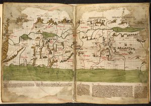
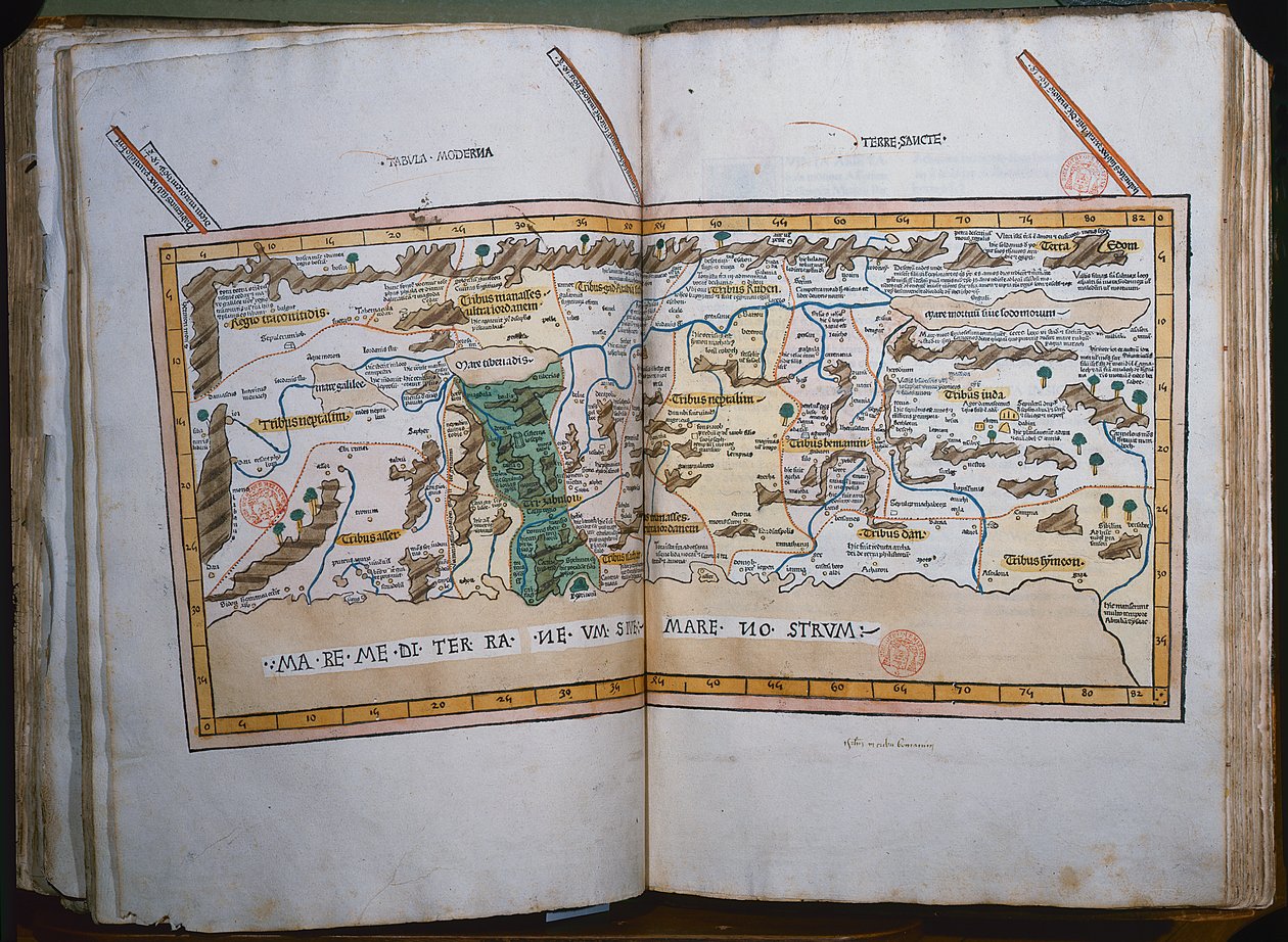
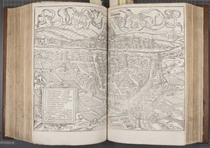
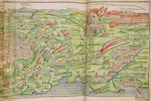
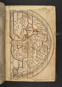
.jpg "Ms. Lat. 463, fol. 81v-82r, Gallia, Belgium, Lyon és Aquitania térképe")
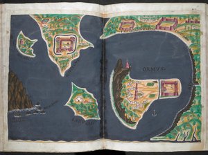
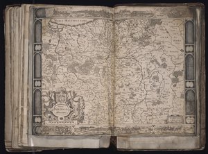
.jpg "Ms Lat 463 f.111v-112r Fönícia, Mezopotámia és Babilon térképe")
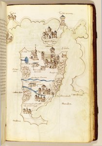
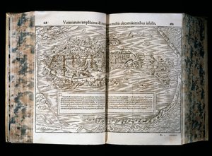
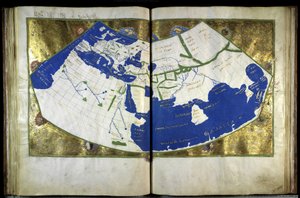
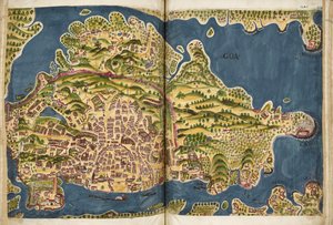
.jpg "Északkelet-Brazília térképe")
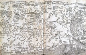
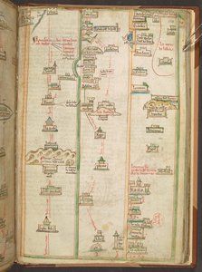
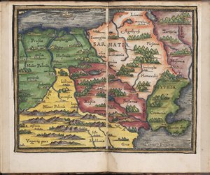
.jpg "Lansdowne 204 ff.225v & 226 Skócia térkép, John Harding, 1450 körül (tinta és tempera pergamenen)")
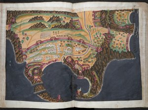
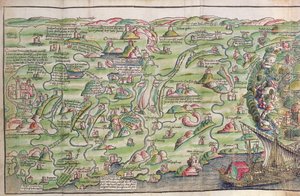
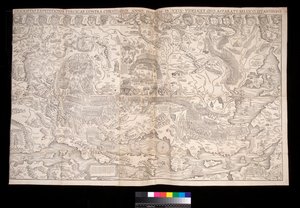
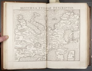
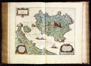

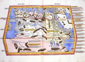
.jpg "Afrika térképe, egy világatlasz 18. táblája, 1486")

.jpg "Szent Brendan és egy szirén, a Navigatio Sancti Brendani Abbatis német fordításából, 1476 körül")

 - (MeisterDrucke-110319).jpg "A babiloni paráznanő, a Luther-bibliából, 1530 körül (színezett fametszet)")


.jpg "Jávorszarvas, 1860")
.jpg "Az angyalok kórusa. Miniatúra Bingeni Hildegárd Liber Scivias című művéből, kb. 1175")
.jpg "Genova és Firenze térképe, Georg Braun (1541-1622) és Frans Hogenberg (1535-90) „Civitates Orbis Terrarum” című művéből, kb. 1572")
 (detail from 330960) - (MeisterDrucke-120039).jpg "Közép-Amerika, egy 33 térképből álló világatlaszból, Velence, 1553. szeptember 1. (részlet a 330960-ból)")

.jpg "Rovigo térképe, a „Les Villes de Venetie” című műből, 1704, Pierre Mortier kiadása, Amszterdam")
 - (MeisterDrucke-64421).jpg "Dél-Amerika térképe, 1777")
 (for d - (MeisterDrucke-251976).jpg "\"Civitas Londinum\", London térképe, 1560 (fametszet) (részletesen lásd 69396)")
 - (MeisterDrucke-41384).jpg "131. atlasz, 13. fólió, Saintes, Saintonge fővárosának térképe, a „Recueil des Plans de Saintonge” című műből, 1711")
.jpg "London térképe, rajta a southwarki medvecsalogató kert, 1561 körül")
.jpg "34v. fólió, Ausztrália térképe, a „Cosmographie Universelle” című műből, 1555")
.jpg "Verona térképe, a „Les Villes de Venetie” című műből, 1704, Pierre Mortier kiadásában, Amszterdamban")
.jpg "Észak-Afrikát ábrázoló térkép Ptolemaiosz atlaszából, a 16. század első fele")
.jpg "Világtérkép az 1482-ben, a németországi Ulmban először megjelent „Geographia” leírásai és koordinátái alapján")
.jpg "Párizs térképe, 1723")
.jpg "Padova térképe, a \"Les Villes de Venétie\" című műből, 1704, Pierre Mortier kiadása, Amszterdam")
.jpg "Shinshū, Suwa-tó")
 on the sea wall at La Rochelle 1881 (see also 307586) - (MeisterDrucke-61008).jpg "Richelieu (1585-1642) La Rochelle tengerparti gátján, 1881")
 - (MeisterDrucke-113959).jpg "A fenyőerdő")
.jpg "Tavasz, a négy évszakot ábrázoló sorozatból, 1573")
.jpg "Virágzó cseresznyefa")
 - (MeisterDrucke-173228).jpg "Majom datolyaszilvafán, 1935")
.jpg "Judit Holofernész fejével")
.jpg "A tavirózsás tó, 1904")

 +43 4257 29415
 support@meisterdrucke.com
 Mo-Do: 7:00 - 16:00 | Fr: 7:00 - 13:00