-
 ×
- Otthon
- Művészet Lenyomatok ▸
- Művészek ▸
- Kategóriák ▸
- Művészet Stílusok ▸
- Képkeret ▸
- Nyomtatási felületek ▸
- Minden nyomathordozó
- Vászon Leonardo (szatén)
- Vászon Salvador (matt)
- Vászon Raphael (matt)
- FineArt Fotó Matt
- FineArt Fotó Szatén
- FineArt Fotó Baryte
- FineArt Fotó Fényes
- Akvarell Karton Munch
- Akvarell Karton Renoir
- Akvarell Karton Turner
- Akvarell Karton Dürer
- Natural Line Hemp
- Natural Line Rice
- Kozo White, 110g
- Kozo Natural, 110g
- Inbe White, 125g
- Unryu, 55g
- Bamboo, 110g
- Premio Unryu, 165g
- Murakumo Natural, 42g
- Bizan Natural, 300g
- Bizan White, 300g
- Alumínium kompozit 3mm
- Akril üveg 5mm
- Minta készlet rendelése
- Melyik nyomathordozó a megfelelő?
Vászon
Fotópapír
Akvarellkarton
Natural Line
Japán papír
Speciális hordozók
További információk
- Súgó és szerviz ▸
- Lépjen kapcsolatba velünk
- Add el a művészeted
- Gyakran ismételt kérdések
- Nyitott pozíciók
- Reklamáció
- Minták rendelése
- Utalványok rendelése
- Szállítási költség
- Gyártási idő
- Fenntarthatóság
- Képkutatás
- Különleges kérések
- Kik vagyunk mi?
- Árpolitika
- Cégpolitika
- Minőségi ígéret
- Kitüntetések
- Feszítőkeret
- Paszpartu
- Díszkeretek
- Üvegezés
- Lécek
- Felfüggesztési rendszerek
- Nyomathordozók
- Ápolási tippek
- Impresszum
- ÁSZF
- Adatvédelem
- Elállási Jog
Információ és szolgáltatás
További információk
Hasznos tudnivalók
Jogi információk
- Bolt ▸
- Kapcsolat





 Megtekintés 3D-ben/AR
 Hozzáadás kedvencekhez
 Falszín kiválasztása
 Festmény megtekintése egy helyiségben


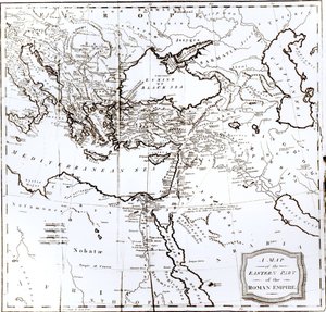
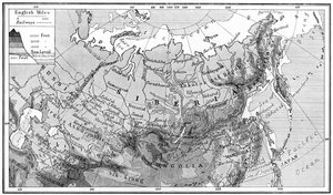
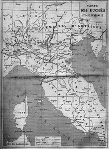
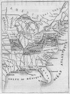
.jpg "Új egyetemes földrajz")



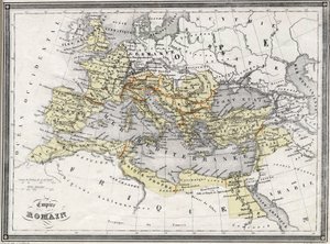
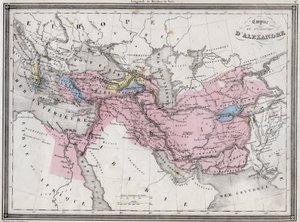
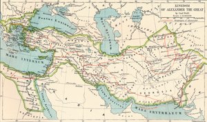
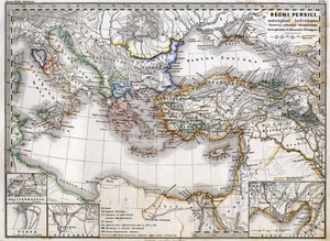
 in Asia - (MeisterDrucke-57567).jpg "Nagy Sándor (i. e. 356-323) ázsiai utazásainak és hadjáratainak térképe")
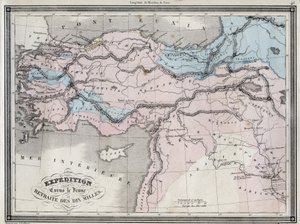
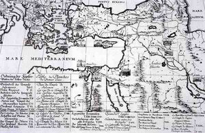
.jpg "Országok, amelyeket az apostolok bejártak, és bemutatják Szent Pál Ázsia és Európa közötti utazásait")



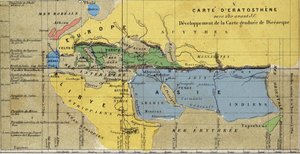


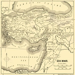

.jpg "Marhahús: a különböző húsrészeket ábrázoló diagram")
.jpg "Akhilleusz pajzsa Homérosz Iliászában szereplő leírás alapján, 1815")
.jpg "„A hatfejű férfi”, Charles Maurice de Talleyrand-Périgord (1754-1838) karikatúrája, 1815")

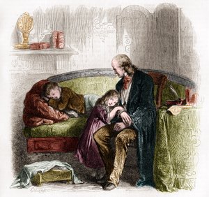
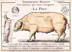
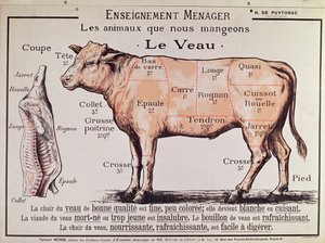
.jpg "A Grammont")
.jpg "Téli táj, 1835-8")
.jpg "Bencés szerzetes borral a délelőtti italozáskor")
.jpg "A szőnyegkereskedő")
.jpg "Reggel a conistoni dombok között, Cumberland")
.jpg "Kirké, kb. 1889")
.jpg "Nimfák és szatír")

.jpg "Az iskolai vizsga")
.jpg "Téli táj teliholdnál")
.jpg "Hügieia")
.jpg "Égő cigarettát tartó csontvázfej")

 +43 4257 29415
 support@meisterdrucke.com
 Mo-Do: 7:00 - 16:00 | Fr: 7:00 - 13:00