-
 ×
- Otthon
- Művészet Lenyomatok ▸
- Művészek ▸
- Kategóriák ▸
- Művészet Stílusok ▸
- Képkeret ▸
- Nyomtatási felületek ▸
- Minden nyomathordozó
- Vászon Leonardo (szatén)
- Vászon Salvador (matt)
- Vászon Raphael (matt)
- FineArt Fotó Matt
- FineArt Fotó Szatén
- FineArt Fotó Baryte
- FineArt Fotó Fényes
- Akvarell Karton Munch
- Akvarell Karton Renoir
- Akvarell Karton Turner
- Akvarell Karton Dürer
- Natural Line Hemp
- Natural Line Rice
- Kozo White, 110g
- Kozo Natural, 110g
- Inbe White, 125g
- Unryu, 55g
- Bamboo, 110g
- Premio Unryu, 165g
- Murakumo Natural, 42g
- Bizan Natural, 300g
- Bizan White, 300g
- Alumínium kompozit 3mm
- Akril üveg 5mm
- Minta készlet rendelése
- Melyik nyomathordozó a megfelelő?
Vászon
Fotópapír
Akvarellkarton
Natural Line
Japán papír
Speciális hordozók
További információk
- Súgó és szerviz ▸
- Lépjen kapcsolatba velünk
- Add el a művészeted
- Gyakran ismételt kérdések
- Nyitott pozíciók
- Reklamáció
- Minták rendelése
- Utalványok rendelése
- Szállítási költség
- Gyártási idő
- Fenntarthatóság
- Képkutatás
- Különleges kérések
- Kik vagyunk mi?
- Árpolitika
- Cégpolitika
- Minőségi ígéret
- Kitüntetések
- Feszítőkeret
- Paszpartu
- Díszkeretek
- Üvegezés
- Lécek
- Felfüggesztési rendszerek
- Nyomathordozók
- Ápolási tippek
- Impresszum
- ÁSZF
- Adatvédelem
- Elállási Jog
Információ és szolgáltatás
További információk
Hasznos tudnivalók
Jogi információk
- Bolt ▸
- Kapcsolat





 Megtekintés 3D-ben/AR
 Hozzáadás kedvencekhez
 Falszín kiválasztása
 Festmény megtekintése egy helyiségben
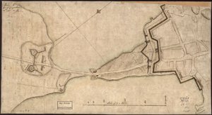
.jpg "Az Ile d")

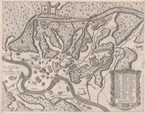
.jpg "Szentpétervár térképe, kb. 1750")
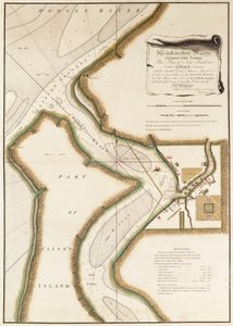
.jpg "Sydney város terve, a Voyage Autour du Monde-ból (1817-20), megjelent 1822-24")
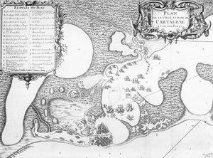


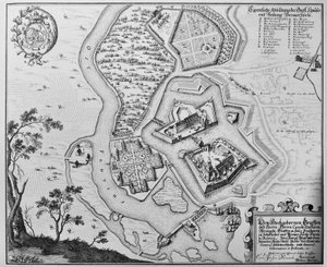
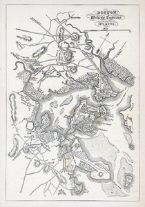

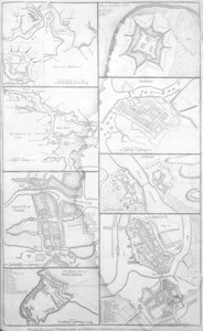
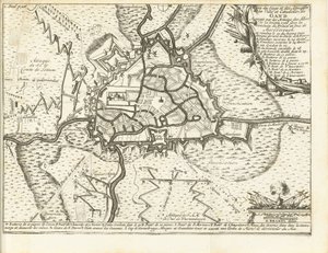
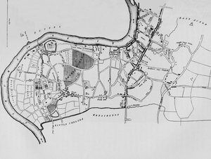
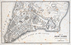

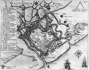
_-_Beleg_van_Bonn_1703Plan_de_la_Ville_de_Bonne_et_du_Fort_de_Bourgogne_()_(title_o_-_(MeisterDrucke-1327941).jpg "Beleg van Bonn, 1703 Bonne városának és Burgundia erődjének térképe (...) (cím a tárgyon)")
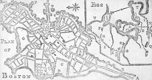
.jpg "A mindeni csata terve, William Roy kapitány rajzolta és Thomas Major metszet, 1760")
.jpg "(Szent Ágoston városának és kikötőjének terve. LOC 75693262")
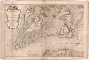
 - (MeisterDrucke-86163).jpg "99. folio: Saint-Savinien térképe a Charente folyónál 1713-ban, a „Recueil des Plans de Saintonge” című műből")
.jpg "Templom és kunyhó kivilágított ablakokkal")
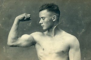
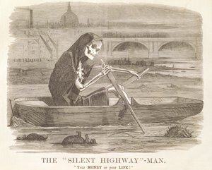
.jpg "III. Richárd király portréja")
 c1740-50 - (MeisterDrucke-77045).jpg "Kidbrooke Park, Kent, korábban George Lambertnek (1700-65) tulajdonították 1740-50 körül")

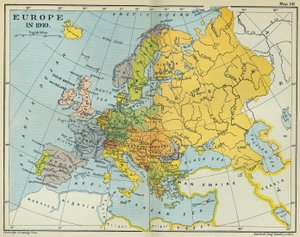
.jpg "A Gallipoli-félsziget és a Dardanellák részletes térképe, Törökország, 1915, a Londonban 1916-ban kiadott „The War Illustrated Album deLuxe” című kiadványból")

.jpg "A Brit Birodalom vörösre színezett birtokait ábrázoló világtérkép, kb. 1870")

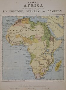
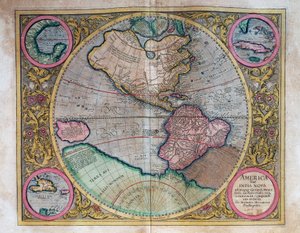
.jpg "Fol.30v Maluku-tenger térképe, a „Cosmographie Universelle”, 1555")
 - (MeisterDrucke-45630).jpg "A Földközi-tenger nyugati térségének térképe (tinta pergamenre)")
.jpg "A Közel-Kelet részleges térképe az 1890-es években, „A polgár világatlasza” című műből, megjelent Londonban, 1899 körül")
.jpg "Mexikó és Közép-Amerika térképe, a \"Sala dell Carte Geografiche\" (Földrajzi Térképek terme) 1570 körüli kiadásából.")
.jpg "Az Ó- és az Újvilág térképe, kb. 1500")
 c1574-75 - (MeisterDrucke-58063).jpg "A 16. századi Európa térképe a „Sala del Mappamondo”-ból (A világtérképek csarnoka), kb. 1574-75")
.jpg "WRATISLAVA Bresslaw térképe, Georg Braun (1541-1622) és Frans Hogenberg (1535-90) „A világ városai” c. 1572-1617")
 - (MeisterDrucke-219723).jpg "Ázsia térképe, megjelent 1700-ban, Párizs")
 (see also 330954) - (MeisterDrucke-86251).jpg "Európa és Közép-Ázsia, a világ atlaszából 33 térképen, Velence, 1553. szeptember 1. (tinta pergamen) (lásd még: 330954)")
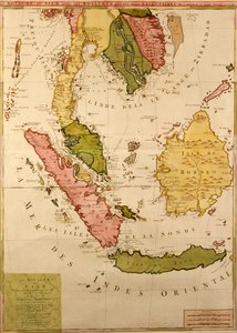
.jpg "India térképe, 1803")
 (detail from 330960) - (MeisterDrucke-120039).jpg "Közép-Amerika, a 33 térképből álló világatlaszból, Velence, 1553. szeptember 1. (tinta, pergamen) (részlet a 330960-ból)")
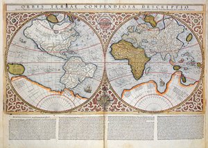
.jpg "A Karib-térség és Venezuela térképe, a „Sala delle Carte Geografiche” (Földrajzi térképek terme) gyűjteményéből, kb. 1570")
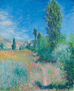
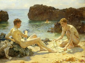
.jpg "Nyári este Skagen tengerpartján. A festő és felesége.")
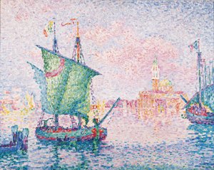
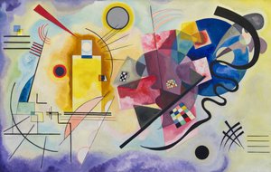
 - (MeisterDrucke-173228).jpg "Majom datolyaszilvafán, 1935")
.jpg "A zaporizzsjai kozákok levelet írnak a török szultánnak, 1890-91")
.jpg "Mars és Vénusz, a béke allegóriája")
.jpg "A győzedelmes Ámor")
.jpg "Japán váza rózsákkal és kökörcsinekkel, 1890")
.jpg "„Mary Rose”")
.jpg "Álló lány")
.jpg "A követek")
.jpg "Aratók")

 +43 4257 29415
 support@meisterdrucke.com
 Mo-Do: 7:00 - 16:00 | Fr: 7:00 - 13:00