-
 ×
- Otthon
- Művészet Lenyomatok ▸
- Művészek ▸
- Kategóriák ▸
- Művészet Stílusok ▸
- Képkeret ▸
- Nyomtatási felületek ▸
- Minden nyomathordozó
- Vászon Leonardo (szatén)
- Vászon Salvador (matt)
- Vászon Raphael (matt)
- FineArt Fotó Matt
- FineArt Fotó Szatén
- FineArt Fotó Baryte
- FineArt Fotó Fényes
- Akvarell Karton Munch
- Akvarell Karton Renoir
- Akvarell Karton Turner
- Akvarell Karton Dürer
- Natural Line Hemp
- Natural Line Rice
- Kozo White, 110g
- Kozo Natural, 110g
- Inbe White, 125g
- Unryu, 55g
- Bamboo, 110g
- Premio Unryu, 165g
- Murakumo Natural, 42g
- Bizan Natural, 300g
- Bizan White, 300g
- Alumínium kompozit 3mm
- Akril üveg 5mm
- Minta készlet rendelése
- Melyik nyomathordozó a megfelelő?
Vászon
Fotópapír
Akvarellkarton
Natural Line
Japán papír
Speciális hordozók
További információk
- Súgó és szerviz ▸
- Lépjen kapcsolatba velünk
- Add el a művészeted
- Gyakran ismételt kérdések
- Nyitott pozíciók
- Reklamáció
- Minták rendelése
- Utalványok rendelése
- Szállítási költség
- Gyártási idő
- Fenntarthatóság
- Képkutatás
- Különleges kérések
- Kik vagyunk mi?
- Árpolitika
- Cégpolitika
- Minőségi ígéret
- Kitüntetések
- Feszítőkeret
- Paszpartu
- Díszkeretek
- Üvegezés
- Lécek
- Felfüggesztési rendszerek
- Nyomathordozók
- Ápolási tippek
- Impresszum
- ÁSZF
- Adatvédelem
- Elállási Jog
Információ és szolgáltatás
További információk
Hasznos tudnivalók
Jogi információk
- Bolt ▸
- Kapcsolat





 Megtekintés 3D-ben/AR
 Hozzáadás kedvencekhez
 Falszín kiválasztása
 Festmény megtekintése egy helyiségben


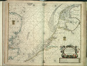
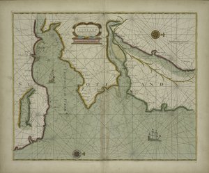
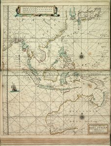
.jpg "Az angol révész első könyve: az északi hajózás leírása, 1671 körül (papír)")
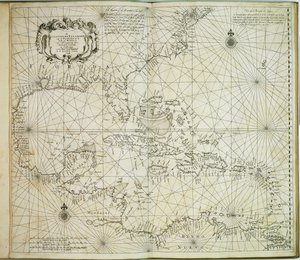
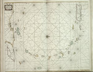
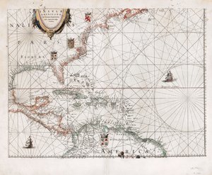
 published in Amsterdam 1683 (hand coloured engraving) - (MeisterDrucke-115315).jpg "Amerika, 17. lemez a „Le Nouveau et Grand Illuminant Flambeau de la Mer”-ből, Claes Jansz. Vooght (fl.1680-96), megjelent Amszterdamban 1683-ban (kézzel színezett metszet)")
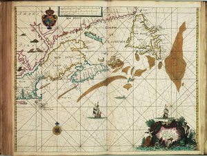
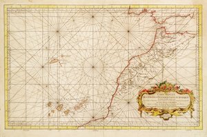
.jpg "Kedvezményes nyugat -afrikai kártya")
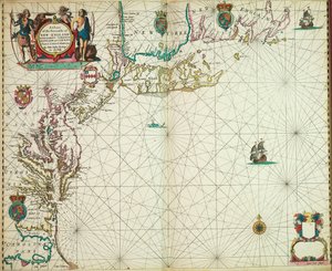
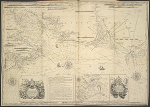
.jpg "A Loire szája")
 - (MeisterDrucke-670164).jpg "Csatorna antik térképe, 1666 (színes metszet)")
.jpg "Térkép a Nemzeti Könyvtár térképgyűjteményéből. A térképet kiadták, és Norvégia partvidékét, Agdert és Rogalandot ábrázolja")
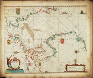
.jpg "A teljes Fekete-tenger új, bővített, fokozatos térképe, amely Asafftól Konstantinápolyig terjed, és feltünteti a tengerparton található csaknem valamennyi kikötőt, folyót és erődöt vagy erődítményt, a legpontosabb felmérés alapján t")
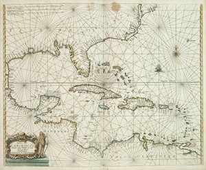
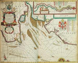
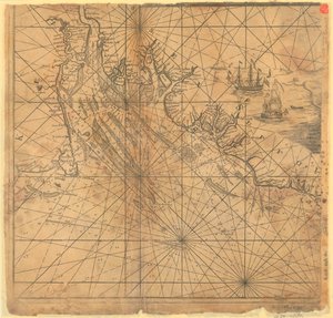
.jpg "Grönland partvidéki típusai, Sziget, Dávid -szoros, John Mayen és Hitland szigete, Skócia és Írország északi partvidéke")


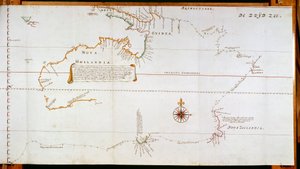
.jpg "Plakett kínai modorú tájképpel és aranyozott részletekkel, kb. 1680")
.jpg "Terrarum Orbis Tabula, G. a Schagen nyomán. Megjelent kb. 1689-ben")
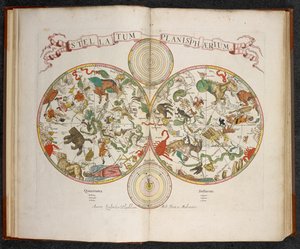
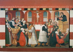
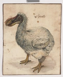

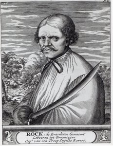
.jpg "A názáreti Miasszonyunk csodája. A názáreti Miasszonyunk-templom (Largo Nossa Senhora da Nazaré). Portugália.")
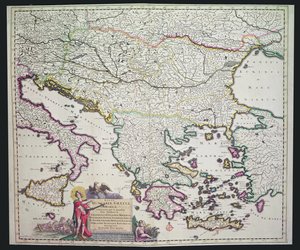
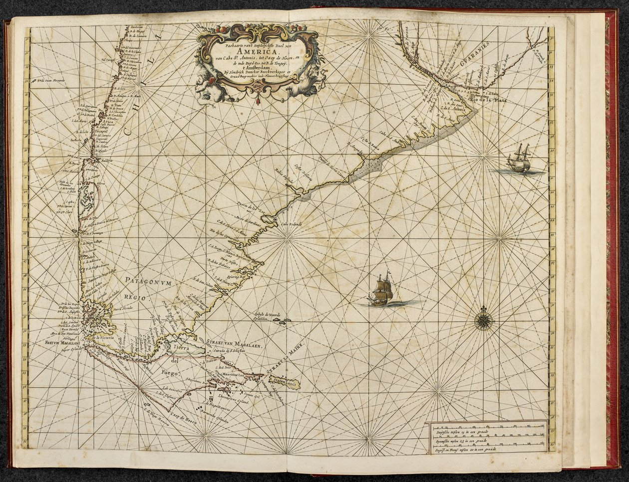
 - (MeisterDrucke-103966).jpg "A Magellán-szoros térképe, Patagónia")

.jpg "I. Alvaro kongó király fogadja a holland követeket, illusztráció Olfert Dapper 1668-ban megjelent „Afrika leírása” című művéből")
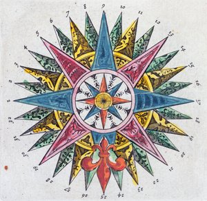
.jpg "Afrika térképe, a Nova Africa Descriptio című műből, amelyet az 1660-as években Amszterdamban Frederik de Wit holland térképész adott ki")
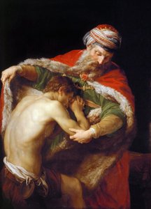
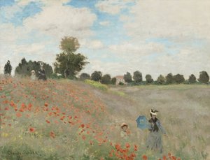
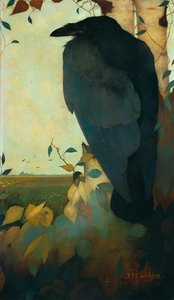
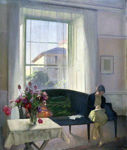
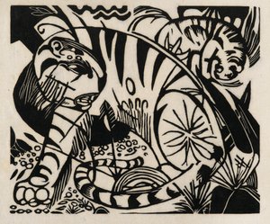
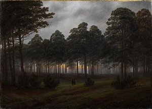
.jpg "Első lépések")
.jpg "Szadko")
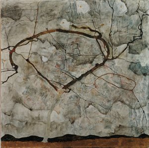
.jpg "Shichiri partja Sagami tartományban")
.jpg "Ösvény Monet kertjében, Giverny, 1902")
.jpg "Az Eiger, a Mönch és a Jungfrau a reggeli napfényben")
.jpg "A montgeroni kert egy sarka, 1876-7")
.jpg "Napraforgók")
.jpg "Madonna a gyermekkel és két angyallal")

 +43 4257 29415
 support@meisterdrucke.com
 Mo-Do: 7:00 - 16:00 | Fr: 7:00 - 13:00