-
 ×
- Otthon
- Művészet Lenyomatok ▸
- Művészek ▸
- Kategóriák ▸
- Művészet Stílusok ▸
- Képkeret ▸
- Nyomtatási felületek ▸
- Minden nyomathordozó
- Vászon Leonardo (szatén)
- Vászon Salvador (matt)
- Vászon Raphael (matt)
- FineArt Fotó Matt
- FineArt Fotó Szatén
- FineArt Fotó Baryte
- FineArt Fotó Fényes
- Akvarell Karton Munch
- Akvarell Karton Renoir
- Akvarell Karton Turner
- Akvarell Karton Dürer
- Natural Line Hemp
- Natural Line Rice
- Kozo White, 110g
- Kozo Natural, 110g
- Inbe White, 125g
- Unryu, 55g
- Bamboo, 110g
- Premio Unryu, 165g
- Murakumo Natural, 42g
- Bizan Natural, 300g
- Bizan White, 300g
- Alumínium kompozit 3mm
- Akril üveg 5mm
- Minta készlet rendelése
- Melyik nyomathordozó a megfelelő?
Vászon
Fotópapír
Akvarellkarton
Natural Line
Japán papír
Speciális hordozók
További információk
- Súgó és szerviz ▸
- Lépjen kapcsolatba velünk
- Add el a művészeted
- Gyakran ismételt kérdések
- Nyitott pozíciók
- Reklamáció
- Minták rendelése
- Utalványok rendelése
- Szállítási költség
- Gyártási idő
- Fenntarthatóság
- Képkutatás
- Különleges kérések
- Kik vagyunk mi?
- Árpolitika
- Cégpolitika
- Minőségi ígéret
- Kitüntetések
- Feszítőkeret
- Paszpartu
- Díszkeretek
- Üvegezés
- Lécek
- Felfüggesztési rendszerek
- Nyomathordozók
- Ápolási tippek
- Impresszum
- ÁSZF
- Adatvédelem
- Elállási Jog
Információ és szolgáltatás
További információk
Hasznos tudnivalók
Jogi információk
- Bolt ▸
- Kapcsolat




 Megtekintés 3D-ben/AR
 Hozzáadás kedvencekhez
 Falszín kiválasztása
 Festmény megtekintése egy helyiségben


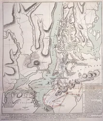
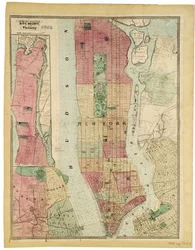
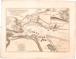
.webp "A New York-sziget terve, Long Island egy részével, Staten Island és East New Jersey, a Flatbush és Brooklyn közötti Long Island erdős magaslatokon való eljegyzés konkrét leírásával")
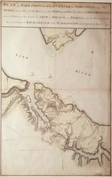
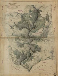
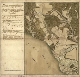
.webp "New York városának és környékének terve Greenwichig az északi (Hudson) folyón az East River-i Crown Pointig, 1766, 1775 (kőnyomat)")
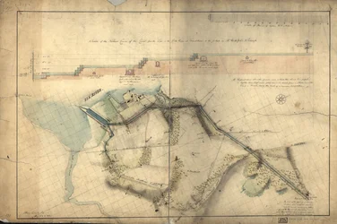
.webp "New York városának terve, melyen a mocsárvidék és a mocsárvidék látható, 1856 (fekete tinta, papír)")
.webp "New York városának térképe a biztosok által, 1814")
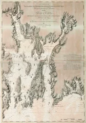
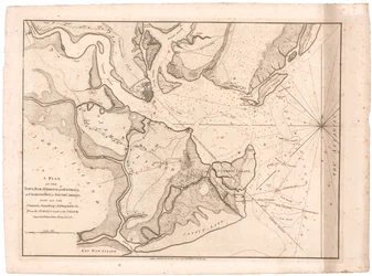
.webp "Az 1766-ban és 1767-ben vizsgált észak-amerikai New York város terve a Faden")
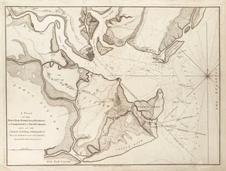
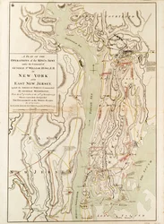
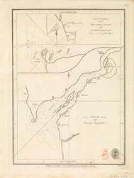

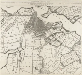
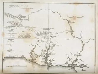
.webp "New York városa, ahogy azt a környező ország biztosai, titkáruk és felmérőjük, John Randel, Jr. meghatározta, 1814, 1814 (Toll és tinta, akvarell papíron.)")
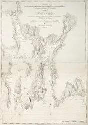
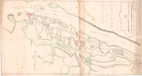
.webp "New York-sziget térképe a szomszédos sziklákkal és a Hell-Gate egyéb figyelemre méltó részeivel, 1778 (fekete tinta papíron)")
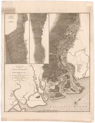
.webp "A Dél-Karolina fővárosa, Charlestown előtti műveletek vázlata, 1780 körül")


.webp "Reggeli a nagy nyírfa alatt")


.webp "Az Eiger, a Mönch és a Jungfrau a reggeli napfényben")
.webp "Egy kedvező kilátópont, 1895")
.webp "Vihar a Sziklás-hegységben, Rosalie-hegy")

.webp "Házak látképe Delftben, más néven A kis utca")
.webp "A művész kertje Vétheuil-ben, 1880")
.webp "Malcesine a Garda-tónál")
.webp "Nő hajnalban")



 +43 4257 29415
 support@meisterdrucke.com
 Mo-Do: 7:00 - 16:00 | Fr: 7:00 - 13:00